Garmin Fenix 5 Still Holds Up as a Hiking Watch
An Interview with Bobby: Garmin Fenix 5
Meet Bobby. He is an Independent Duty Corpsman in the Navy, father, and hunter. He has hiked all over the world – from Philmont to Laos. Given the range of places he travels, he was looking for a smartwatch that could provide him with reliable GPS no matter what part of the world he is in. That is why he added a Fenix 5 to his travel bag.
In the summer of 2021, we asked Bobby about what his experience with the Fenix 5 has been like. After all, we were itching to know if his Garmin stood up to the rigorous testing that Bobby put it through. In our interview, he discusses what he likes about the GPS functions of the watch, how to load maps onto a Fenix 5, and tells us about how it made his life in rural Laos easier.
What Garmin Fenix 5 model does Bobby have?
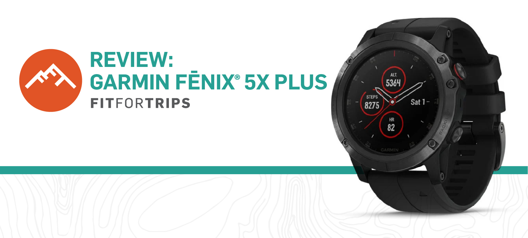
Bobby has the Fenix 5X Plus – meaning that he chose the plus edition, a 51mm case size, and opted for Pulse Ox Acclimation.
Garmin fēnix® 5X Plus: AMAZON
When you purchase a Fenix 5 the first choice you have to make is if you want a standard or a plus model. If you go with the plus, like Bobby did, then you have two more major choices to make: (1) Size and (2) If you want Pulse Ox Acclimation. A customer’s combination of decisions will determine the name of the model.
Size – Determines the size of the screen and if the watch is called 6S, 6, or 6X:
- S – 42mm case size.
- Base – 47mm case size.
- X – 51mm case size. The only size with Pulse Ox Acclimation Potential.
Pulse Ox Acclimation – Determines if the model can show blood oxygen saturation levels:
- No – the standard Fenix load-out. It still comes with all of the top-of-the-line Fenix features.
- Yes – Enables the Pulse Ox Acclimation feature to measure blood oxygen levels.
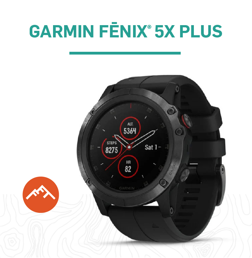 Garmin fēnix® 5X Plus Hiking Watch with TOPO Maps
Our Full Interview with Bobby about his Garmin Fenix 5X
Below is the full interview we did with Bobby. Please note that his responses have been edited for clarity and readability.
Did the Garmin Fenix 5X Plus Improve your Hiking?
It’s multi-purpose. I don’t know if it’s improved my hiking or made hiking better, but it’s definitely made it easier to track mileage, set pace, keep pace, make sure I don’t get lost or turned around, I’ve also used it on bicycles, motorcycles and even to navigate a city I’m unfamiliar with.
Can you Load Maps onto your Fenix 5X?
You can load a variety of maps… I load the maps I need, when I need them. So, the topo maps are off the Basecamp app, from Garmin, or OpenStreetMap. I have used it all over. While I am currently in the Midwest, I have used it in Eastern North Carolina, Southern California, upstate New York, New England, and Pennsylvania.
The watch comes preloaded with maps of North America. You can load more detailed, regional maps as needed. For me the biggest benefit is being able to track what it is I’m doing, set up routes, and a waypoint. So, if you find an interesting site you want to revisit, you can mark a waypoint, so you can easily get back to it. I have also used it for hunting. If I see a game trail, a rub, or a bed I can put a waypoint on it and then come back to it.
I switched to Garmin from Suunto. I found that Garmin worked a little bit better and seems to hold up better.
What do you Like About the Maps on your Garmin Fenix 5?
In Norway, I got turned around and was trying to figure out which direction I needed to go on the train. I couldn’t find any signs. So, I just used the compass function to find North and the Fenix 5 helped me make my way back to where I was trying to get to. So, it’s just kind of handy to have that function with me. I also like that the watch updates to local time using GPS, so I never have to update the watch.
Do the Fenix 5X Maps Show Roads?
Roads and trails. I also use it for dual-sport motorcycles on and off-road. I’m getting ready to use the watch on the Trans Wisconsin Adventure Trail (TWAT) this fall.
How Easy is it to Download Maps on the Fenix 5?
First, you have to download it onto the Basecamp app on your computer. Then you can hook up the watch to upload the map. I’m pretty computer illiterate and it was easy enough for me to figure out. It’s relatively intuitive and Garmin does a good job and the app itself is great at guiding you through it. If you get lost, the Garmin forums are helpful. I spend a lot of time on the forums and the frequently asked questions section of the Garmin website. There is pretty good information on there.
Do you Feel the Need to Upgrade to a Fenix 6?
I like the idea of the solar charging on the Fenix 6, it would help extend the battery on longer treks. But the Fenix 5 works for me. Pay a little less, kind of figure out if you even use it enough to warrant spending that much money on a watch.
Have you Used the Garmin Fenix 5 in any Interesting Places?
While deployed I hiked Southeast Asia, mostly in Laos. Very remote, very rural, with only some of my time spent in cities. I was still using the watch to track my route so if I got turned around or if I got lost I could at least retrace my path. Where I was, it was so remote the locals didn’t even have birth certificates, we were completely off the grid. That said, there were no topo maps for that area – at least not that I could find.
Would you Recommend your Fenix 5X Plus?
It’s definitely nice when you’re somewhere without cell service to have GPS access that’s not reliant on cell towers and isn’t taking up a bunch of space in your backpack. I also like that Fenix supports GLONASS in addition to GPS. GLONASS is typically less accurate than GPS but I like having a redundant satellite system in the event that I am having difficulty receiving a signal.